Why You Should Pack Your Hiking Shoes When Visiting Orange County
These SoCal trails are a breath of fresh air.
-
CategoryExperiences, Hidden Gems, Outdoor Adventure, Sights + Stays
Don’t be fooled by the stereotype. Orange County is much more than amusement parks and grand shopping malls … it’s also an incredible place to hike and enjoy Mother Nature. Orange Coast recently posted 10 phenomenal hikes you’ll want to add to your itinerary on your next visit. Here are three of our favorites:
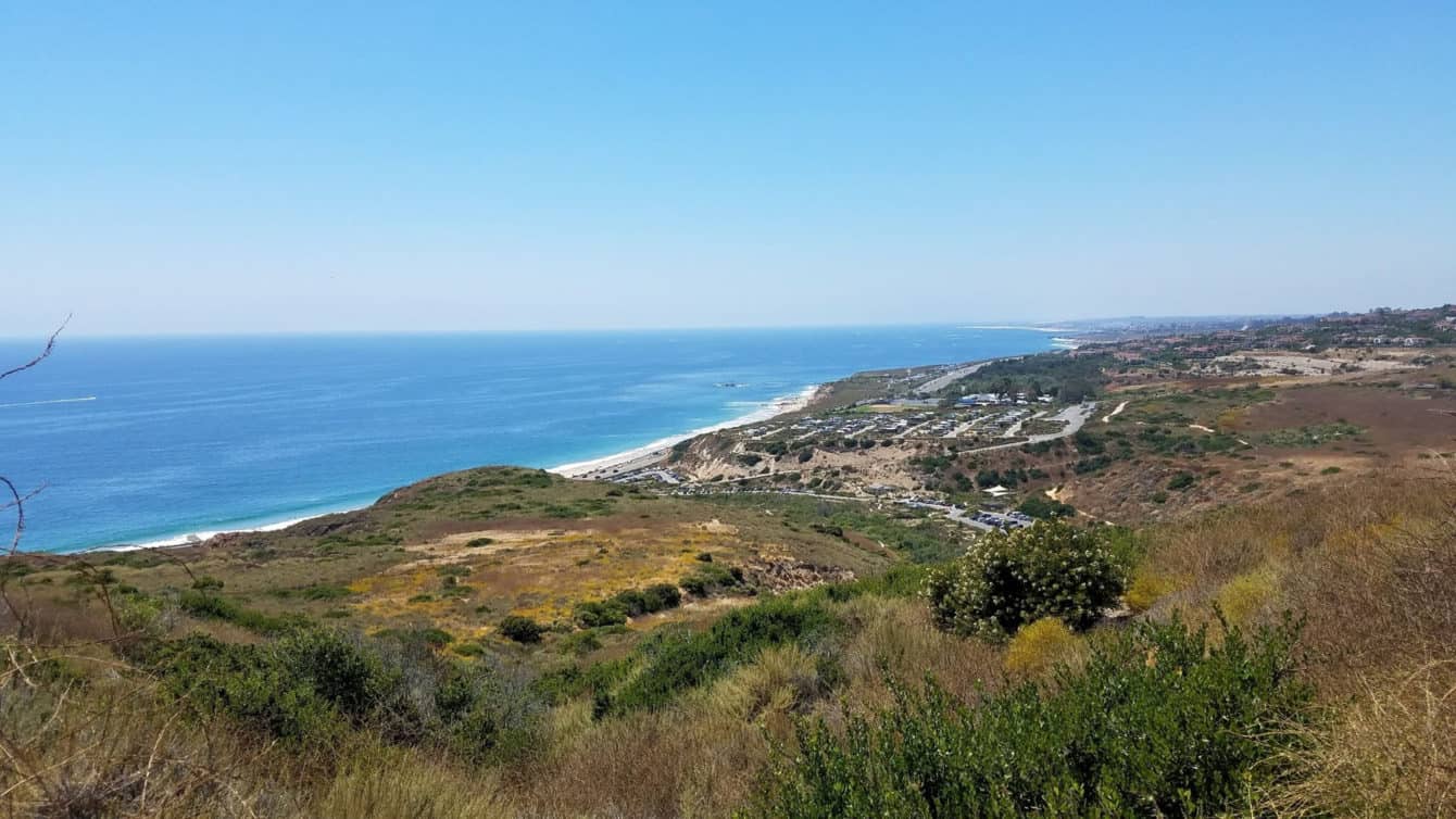
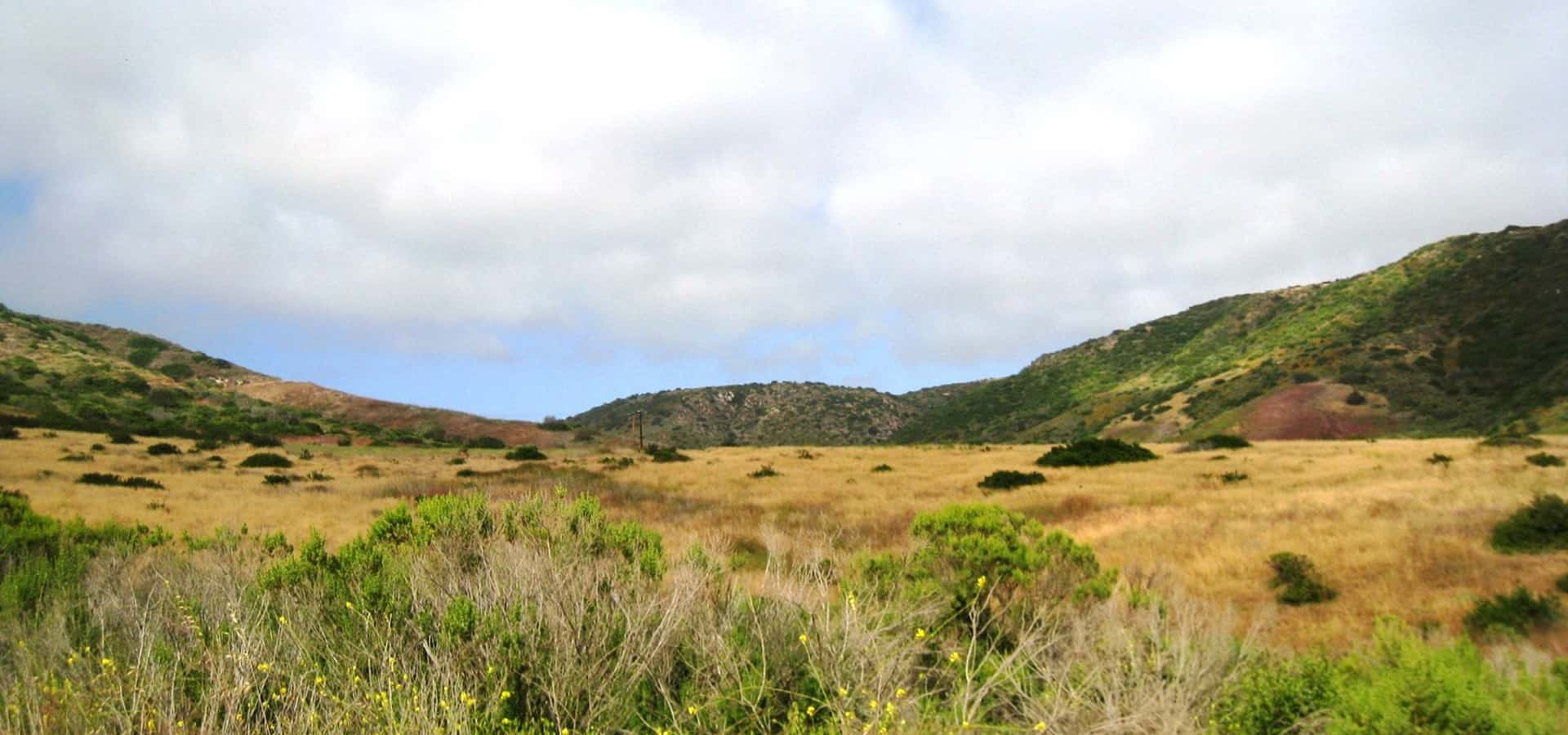
Moro Canyon Loop
Crystal Cove State Park
Distance: 5.5 miles
Elevation gain: 820 feet
Difficulty: Strenuous
Best time: Year-round
Dogs: No
Need to know: Parking at Crystal Cove State Park requires a day‑use fee, payable at the ranger station.
This loop is a favorite route in the Crystal Cove backcountry, with ridgeline views of the coastline and a shady canyon that feels a world away from suburban life. All this, and it is easily accessible from Newport Coast.
Park at the El Moro Visitor Center on the inland side of Coast Highway. The trail begins at the southwest end of the parking lot. Follow the dirt path along the car campsites, continuing down the dusty trail to the bottom of the hill. Turn left and head over the bridge to continue on the El Moro Canyon Trail. Continue up the canyon, keeping a watchful eye for deer, roadrunners, rabbits, lizards, and other critters.
At 1.4 miles, turn right and head up the East Cutoff Trail, affectionately known as “I Think I Can,” a slow and steady climb to the El Moro Ridge Trail. Turn right here and head downhill toward the coast. This stretch has some steep sections where trekking poles might be handy. There’s a good reason many hikers call this “BFI” (Big Fat Incline).
The coastal views are beautiful. When you see Coast Highway, look for the trail marker on the right, leading you down to El Moro Canyon near the bridge, and follow the dirt trail back to the visitor center.
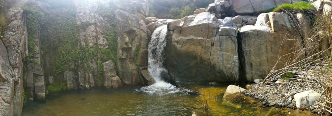
Chiquito Falls
Cleveland National Forest
Distance: 9 miles
Elevation gain: 2,900 feet
Difficulty: Strenuous
Dogs: On leash
Best time: Spring, after rainfall
Need to know: An Adventure Pass is needed for trailhead parking.
Chiquito Falls is a seasonal waterfall best viewed soon after decent rainfall. The trailhead begins across the street from Ortega Oaks Candy Store on Ortega Highway.
Start at the San Juan Loop Trailhead, which leads to a short climb over the nearest ridge and a descent toward San Juan Creek. You get a great view of San Juan Falls—a popular destination due to its proximity to the trailhead—but continue on the trail that follows the creek downstream.
At 1.1 miles, there’s a marker for the creek crossing where you’ll boulder-hop across. The trail continues up a smaller tributary for nearly another mile before turning sharply back and heading up the steep slope. Continue up and around the ridge to a high point of 2,700 feet above sea level before descending to Chiquito Falls. A short spur trail leads to the top of the falls, while the main trail continues on to connect with the San Juan Trail.
Hike this trail after a good spring storm, as the water slows to a trickle quickly and dries up by summer. Follow the same route back to the trailhead.

Aliso Peak
Aliso Wood Canyons Wilderness Park
Distance: 1.6 miles
Elevation gain: 530 feet
Difficulty: Easy
Dogs: Not allowed
When to go: Year‑round
Need to know: The hardest part is the way back
This short trail is officially part of Aliso and Wood Canyons Wilderness Park, but it isn’t connected to the more familiar trails in the park. The trailhead begins at the west end of Seaview Park in Laguna Niguel, where you can park along Talavera Drive.
Hike through green, grassy Seaview Park to the west end where you’ll find information signs with park rules and the beginning of a wide dirt path. The trail follows the ridgeline with Aliso Canyon on your right. You’ll pass a number of picnic tables in the first 0.3 miles, after which the trail descends steeply. Follow the signposts marking the trail. At 0.7 miles, you’ll reach a junction with the Toovet Trail, ascending from Laguna Beach below. Bear right, heading up the steep, final push to the summit of Aliso Peak.
At the peak, you’re rewarded with a bench to sit on and panoramic views of the coastline. This is a great spot to catch the sunset (be sure you bring a headlamp) or watch for whales during their annual migration. Save some energy for the return trip. Unlike most peak hikes, on this hike, you do most of your climbing on the way back.

The Future of California Home Design Is Thriving in Los Angeles
Meet some of the state’s best designers.
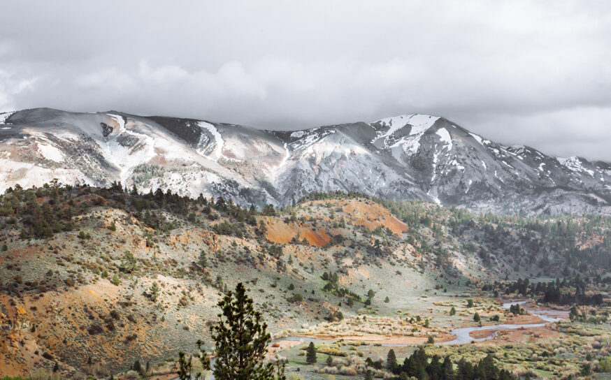
Discovering the Sierra Nevada: Beyond Yosemite
This mountain range brims with hidden gems, from saline lakes to rare geologic formations.
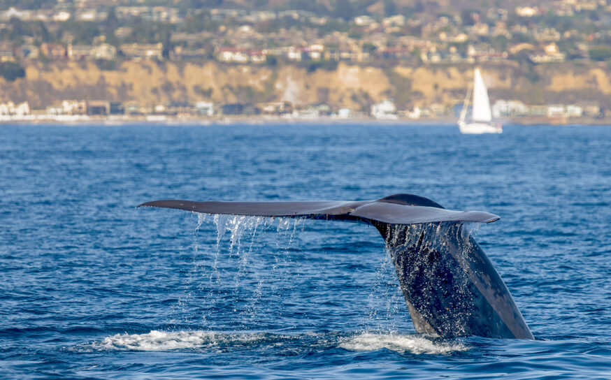
Make a Splash at These Joyful March Events in California
Whale sightings, desert art and more…